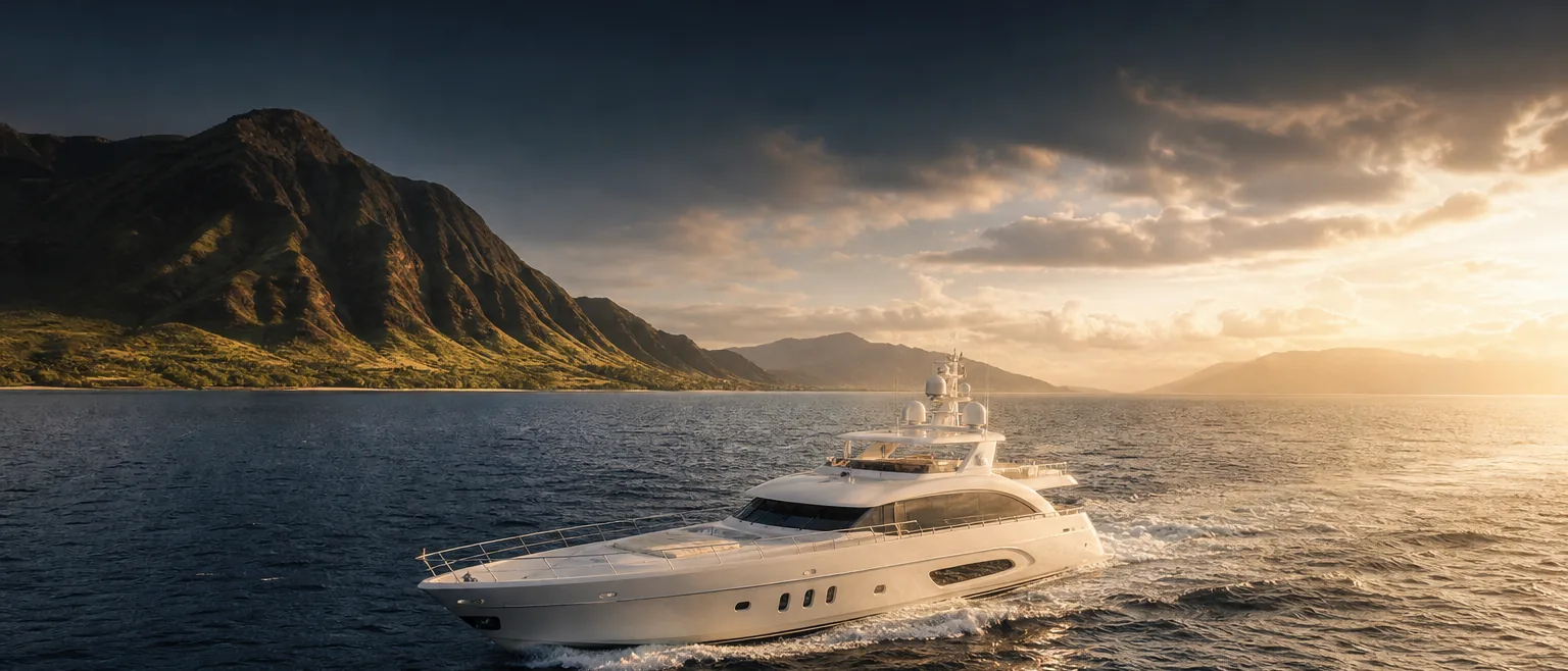
The channels between the islands, in planning context.
Moving between the Hawaiian Islands means crossing open channels that behave very differently from one another. These pages give the geographic and operational context an operator wants when planning a call — not navigation instruction. Your captain plans and commands the passage; HYANS coordinates the shore side at each end.
Five channels, five different characters.
A Hawaiʻi itinerary rarely stays at one island. Owners and operators cross channels to reach a fuel berth, a yard, a guest pickup, or the next leg of a Pacific passage. Each channel sits in the lee — or the exposure — of different terrain, so trade winds, swell, and sea state can vary sharply between one crossing and the next.
The pages below describe each channel's setting, the operational factors that tend to shape scheduling, and the general trade-wind and swell awareness that helps you brief HYANS and plan a realistic window. They are context for planning conversations — the captain's passage plan, charts, and current official forecasts govern the crossing itself.
Where a decision depends on weather, sea state, or authorities, we say so. HYANS coordinates berths, fuel, crew, and vendors at both ends of a crossing and keeps one point of contact throughout — see Interisland Support for how that fits together.
Interisland channels
Each page is planning context, not navigation instruction.
Kaʻiwi Channel
Oʻahu ↔ Molokaʻi — the well-known crossing off the southeast of Oʻahu, often lively in the trades.
Learn more →Pailolo Channel
Molokaʻi ↔ Maui — a comparatively narrow channel known for accelerated wind between the islands.
Learn more →ʻAlenuihāhā Channel
Maui ↔ Hawaiʻi Island — a deep, exposed channel in the lee of Haleakalā and Mauna Kea.
Learn more →Kauaʻi Channel
Oʻahu ↔ Kauaʻi — the widest interisland crossing, open to North Pacific swell.
Learn more →ʻAlalākeiki Channel
Maui ↔ Kahoʻolawe — a southern channel in the Maui Nui waters. It is not the channel between Maui and Lānaʻi.
Learn more →Coordination at both ends, one point of contact
- →Berth and port coordination at the departure and arrival harbors, subject to availability
- →Fuel and provisioning staged before departure so a crossing is not delayed by shore items
- →Crew changes and transport timed around a realistic window
- →Supporting weather, swell, and trade-wind information for the captain's planning
- →One agency tracking the call from one island to the next through Interisland Support
Frequently asked
Do these pages tell my captain how to cross a channel?
Does HYANS decide when it is safe to cross?
Can you coordinate a multi-island itinerary?
Channel pages provide planning context only — not navigation instruction. The captain retains full responsibility for navigation, passage planning, and safety of the vessel. HYANS provides shore-side coordination and planning support, not navigational command. Conditions in Hawaiʻi's channels change quickly; consult current official forecasts, notices, and charts, and confirm port status and authority requirements before departure and arrival.
Planning a crossing between islands?
Tell HYANS your departure and arrival islands, your window, and what you need coordinated. We will stage the shore side at both ends and keep one agency on the call throughout.