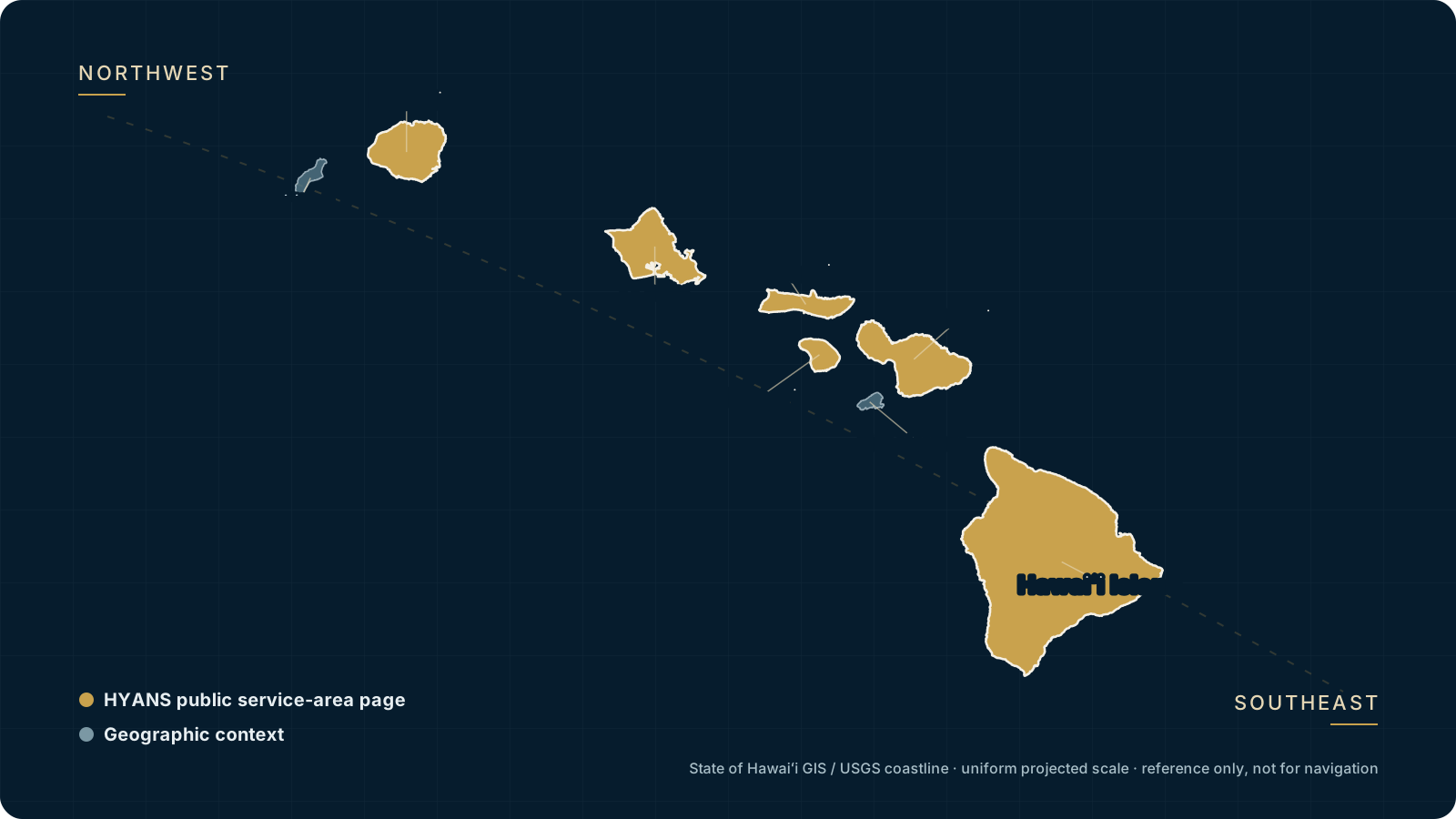
Route planning context for a Hawaiʻi voyage.
These pages are planning context — not passage plans or navigation instructions. They outline the common interisland legs, what a call at each end usually involves, and the channel factors worth confirming early. HYANS coordinates the shore side; the captain owns the passage.
Routes as planning context, not instructions.
A Hawaiʻi itinerary rarely stops at one island. Owners, captains, and managers plan around the legs between the islands — where to clear, fuel, provision, change crew, and coordinate vendors, and how much time to build in for the passage and the port call at each end. These route pages gather that context in one place so the shore-side plan can take shape early.
Every transit figure on these pages is a planning estimate only. It is not a schedule, a guarantee, or a navigation recommendation. Real passage time depends on the vessel, the route, weather, sea state, traffic, and operational requirements — and the channels between the islands can differ sharply from one day to the next. Use these estimates to frame planning, then confirm current conditions with your captain and current authority guidance before committing to any window.
For each route, HYANS can coordinate the arrival and departure calls at both ends, stage fuel, provisioning, crew and vendors, and provide supporting weather and channel information for your captain to weigh. The captain retains full navigation responsibility throughout.
Route planning estimates at a glance
| Route | Planning estimate | Plan around |
|---|---|---|
| Honolulu → Maui | Planning estimate only | Kaʻiwi and Pailolo channel conditions; berth at each end |
| Honolulu → Hilo | Planning estimate only | Longer open-water leg; fuel and provisioning before departure |
| Maui → Kona | Planning estimate only | ʻAlenuihāhā Channel exposure; anchorage and services at Kona |
| Kauaʻi → Honolulu | Planning estimate only | Kauaʻi Channel crossing; clearance and berth at Honolulu |
| Interisland circuit | Planning estimate only | Multi-leg sequencing; fuel, crew and vendor staging per island |
Transit times are planning estimates only. Actual passage time depends on vessel type and speed, the route chosen, weather, sea state, traffic, and operational requirements. Confirm current channel and port status before arrival; the captain retains full navigation responsibility.
Interisland route pages
Planning context, services to coordinate, and channel factors for each leg.
Honolulu → Maui
Oʻahu to Maui — a common first leg, with Kaʻiwi and Pailolo channel considerations.
Learn more →Honolulu → Hilo
Oʻahu to the windward side of Hawaiʻi Island — a longer open-water leg.
Learn more →Maui → Kona
Maui to the Kona coast across the ʻAlenuihāhā Channel.
Learn more →Kauaʻi → Honolulu
Nāwiliwili to Honolulu across the Kauaʻi Channel.
Learn more →Interisland circuit
Sequencing several islands in one visit — staging fuel, crew and vendors per stop.
Learn more →Shore-side support across the legs
- →Arrival and departure port coordination at each end of the leg
- →Clearance coordination with CBP, USDA/APHIS and the Coast Guard where a leg involves an inbound arrival
- →Fuel and bunkering staged before departure, subject to supplier and port conditions
- →Provisioning and crew changes timed to the call at each island
- →Technical vendor work sequenced to the time in port
- →Supporting weather and channel information for the captain to weigh
Frequently asked
Are these transit times a schedule I can rely on?
Do these pages tell my captain how to navigate the passage?
Can HYANS coordinate both ends of an interisland leg?
How far ahead should we plan an interisland itinerary?
Planning a multi-island Hawaiʻi voyage?
Tell HYANS the islands, the order, and your rough dates. We will coordinate the calls at each end and stage fuel, crew, provisioning and vendors across the legs.