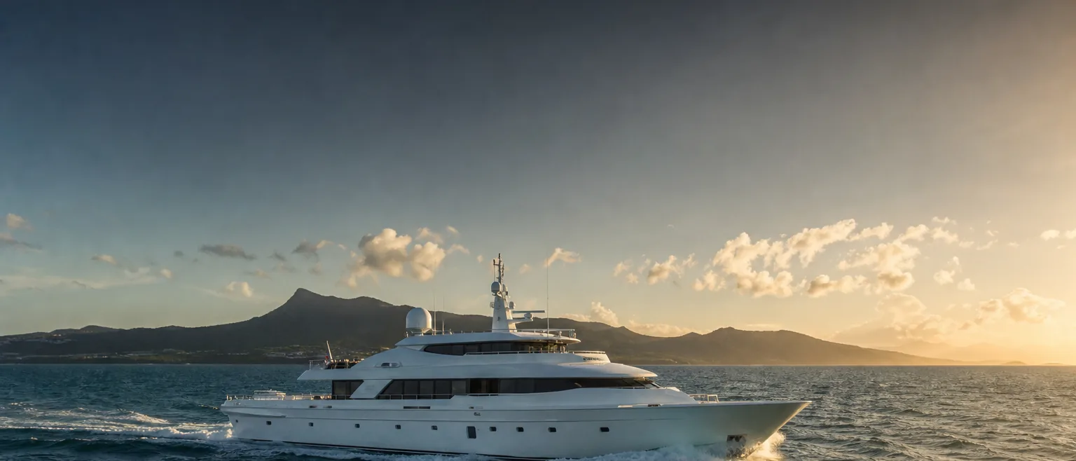
The Kaʻiwi Channel, in planning context.
The Kaʻiwi Channel — the Molokaʻi Channel — separates the southeast of Oʻahu from Molokaʻi. It is one of the most familiar interisland crossings, and one that rewards a realistic window and a well-staged shore side at both ends.
Where the Kaʻiwi Channel sits
The Kaʻiwi Channel lies between the eastern end of Oʻahu and the western end of Molokaʻi, connecting the waters off Honolulu and the Ala Wai with the Molokaʻi coast. It is a comparatively short interisland channel but an open one, exposed to the prevailing trade-wind flow that funnels along the island chain.
For an operator, the Kaʻiwi is often the first channel considered when leaving the Oʻahu harbors for the neighbor islands, or the last on the way back before a Pacific departure. Its familiarity does not make it uniform — the sea state at the Oʻahu end and the Molokaʻi end can differ, and it can build quickly when the trades are up.
This page describes the setting so you can brief HYANS and plan a realistic window. It is not a passage plan. Your captain plans and commands the crossing using current official forecasts, notices, and charts.
What tends to shape a call across this channel
- →Departure and return typically stage from the Oʻahu harbors — coordinate berth and fuel there before the window
- →Small-boat harbor space on both ends is limited and demand-driven; confirm availability rather than assume it
- →Trade-wind strength commonly drives the timing of a comfortable crossing, so keep the schedule flexible
- →Crew changes and guest movements are easier to time when the shore side is staged in advance
- →Confirm current harbor operating status and authority requirements at both ends before departure and arrival
General conditions to factor into planning
The Kaʻiwi sits in the general trade-wind flow that runs down the island chain, so wind and wind-driven sea are the factors operators watch most. When the trades are reinforced, the channel can be lively; in lighter conditions it settles. North and northwest swell can also reach the crossing depending on the season and the source.
None of this is a substitute for the forecast in hand at departure. Treat trade-wind and swell context as supporting information for the captain's planning — the crossing is planned and timed against current official marine forecasts and the captain's judgment, not against a general description.
How we coordinate the shore side at each end
Before a crossing, HYANS coordinates the departure-end shore side: berth and dockage requests at the Oʻahu harbors subject to availability, fuel and provisioning staged so the vessel is ready when the window opens, and crew or guest logistics timed to the plan. See Fuel & Bunkering and Port Coordination.
At the Molokaʻi end, we coordinate arrival berth or mooring where available, any vendor or provisioning needs, and onward crew movements. Across the whole itinerary, one agency tracks the call through Interisland Support so the two ends of the crossing are handled as one plan — while the decision to sail, and the navigation, stay with the captain.
Frequently asked
Will you tell me the best route across the Kaʻiwi Channel?
Can you arrange berths on both Oʻahu and Molokaʻi?
How far ahead should we plan an interisland crossing?
Channel pages provide planning context only — not navigation instruction. The captain retains full responsibility for navigation, passage planning, and safety of the vessel. HYANS provides shore-side coordination and planning support, not navigational command. Conditions in Hawaiʻi's channels change quickly; consult current official forecasts, notices, and charts, and confirm port status and authority requirements before departure and arrival.
Crossing the Kaʻiwi Channel?
Send HYANS your departure and arrival plans and your window. We will stage fuel, berths, and crew at both ends so the shore side is ready when your captain is.