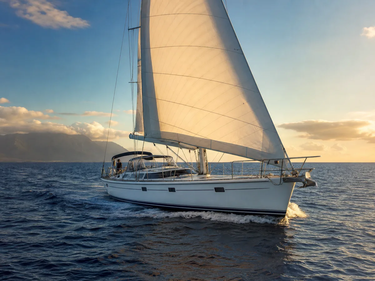
The ʻAlalākeiki Channel, in planning context.
The ʻAlalākeiki Channel lies between south Maui and Kahoʻolawe. It is distinct from the ʻAuʻau Channel between west Maui and Lānaʻi; current conditions and access restrictions must be checked in official sources.
Where the ʻAlalākeiki Channel sits
The ʻAlalākeiki Channel runs between south Maui and Kahoʻolawe, within the broader Maui Nui waters that also include Lānaʻi and Molokaʻi. Lānaʻi lies across the ʻAuʻau Channel from west Maui, not across ʻAlalākeiki.
For operators, the ʻAlalākeiki features on South Maui and Maui Nui itineraries, with the shore side often centered on Maui — the Māʻalaea and South Maui approaches. Note that Kahoʻolawe and its surrounding waters carry access restrictions under the responsible authorities; confirm current status and any restrictions before planning operations in that area.
This page is planning context, not a passage plan. Your captain plans and commands any crossing using current official forecasts, notices, and charts, and observes all applicable access restrictions.
What tends to shape a call across this channel
- →It is a shorter Maui Nui channel, but conditions still vary with the trades and swell
- →The Maui shore side — Māʻalaea and South Maui approaches — is usually where the call stages
- →Kahoʻolawe and its surrounding waters carry access restrictions; confirm current status with the authorities before planning
- →Stage fuel, provisioning, and crew on the Maui side in advance
- →Confirm current harbor operating status and authority requirements before departure and arrival
General conditions to factor into planning
Conditions off south Maui and around Kahoʻolawe vary with wind and swell. Operators use current official forecasts, notices, charts, and the captain's judgment rather than treating the channel as inherently sheltered.
This is general awareness, not a forecast and not advice on when to sail. The crossing is planned and timed against current official marine forecasts and the captain's judgment; the context here only helps you plan the Maui shore side and brief HYANS realistically.
How we coordinate the shore side at each end
HYANS coordinates the Maui shore side around an ʻAlalākeiki-area call — berth and dockage where available on the South Maui and Māʻalaea approaches, fuel and provisioning staged in advance, and crew or guest logistics timed to the plan. See Port Coordination and Fuel & Bunkering.
Where an itinerary continues to Lānaʻi, Molokaʻi, or beyond, one agency holds it together through Interisland Support. We coordinate the shore side and confirm access requirements — including any Kahoʻolawe-area restrictions — but the decision to sail and the navigation remain with the captain, and access decisions rest with the responsible authorities.
Frequently asked
Are there access restrictions near the ʻAlalākeiki Channel?
Is this a sheltered crossing?
Can you coordinate the Maui shore side for a South Maui call?
Channel pages provide planning context only — not navigation instruction. The captain retains full responsibility for navigation, passage planning, and safety of the vessel. HYANS provides shore-side coordination and planning support, not navigational command. Conditions in Hawaiʻi's channels change quickly; consult current official forecasts, notices, and charts, and confirm port status and authority requirements before departure and arrival.
Planning an ʻAlalākeiki-area call?
Tell HYANS your Maui-side plans and window. We will stage the South Maui shore side and confirm current access requirements, so your call is coordinated and ready to go.