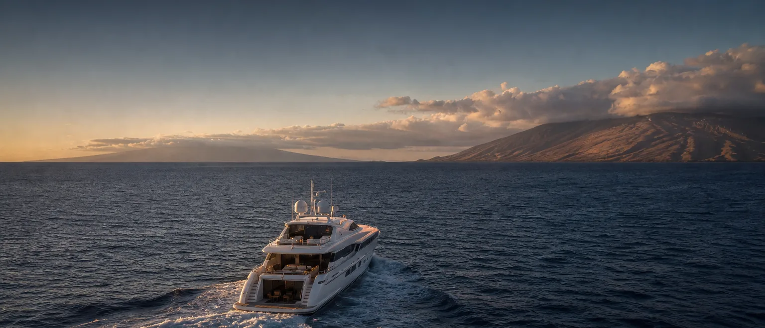
The ʻAlenuihāhā Channel, in planning context.
The ʻAlenuihāhā Channel separates Maui from Hawaiʻi Island. It is a deep, open channel that sits in the lee of two of the state's highest summits, and operators treat it with particular respect when planning a window and briefing HYANS.
Where the ʻAlenuihāhā Channel sits
The ʻAlenuihāhā Channel runs between the southeast of Maui, below Haleakalā, and the north of Hawaiʻi Island, near the Kohala coast and the Kawaihae approaches. It is one of the more exposed interisland channels, deep and open, with the high terrain of Haleakalā, Mauna Kea, and Mauna Loa shaping the flow around it.
For operators, the ʻAlenuihāhā is the crossing that links the Maui itinerary with Hawaiʻi Island calls — including the fuel and commercial berth at Kawaihae. It has a strong reputation among mariners, so a realistic window and a well-staged shore side at both ends matter more here than on most crossings.
This page is planning context, not a passage plan. Your captain plans and commands the crossing using current official forecasts, notices, and charts, and decides whether and when to sail.
What tends to shape a call across this channel
- →The channel is deep and exposed, so operators plan around conditions and keep the window flexible
- →Hawaiʻi Island calls often stage through Kawaihae for fuel and commercial berthing — coordinate that end in advance
- →Stage fuel and provisioning before the crossing rather than mid-itinerary
- →Time crew changes and guest movements around a realistic, weather-driven window
- →Confirm current harbor operating status and authority requirements at both ends before departure and arrival
General conditions to factor into planning
Sitting in the lee of very high terrain, the ʻAlenuihāhā is strongly influenced by the trade-wind flow accelerating between and around the summits, and it is widely regarded as a channel where wind and sea can be significant. Operators watch trade-wind strength and sea state closely and keep the timing adaptable. Seasonal swell can add another variable.
This description is general awareness only. It is not a forecast and not advice on when to sail. The crossing is planned and timed against current official marine forecasts and the captain's judgment; the context here simply helps you plan the shore side and brief us realistically.
How we coordinate the shore side at each end
Before a crossing, HYANS coordinates the departure-end shore side on Maui — berth and dockage where available, fuel and provisioning staged in advance, and crew or guest logistics timed to the plan. On the Hawaiʻi Island end, we coordinate the arrival call, commonly at Kawaihae Harbor for fuel and commercial berthing, and the vendor and provisioning items that follow. See Fuel & Bunkering and Port Coordination.
One agency holds both ends together through Interisland Support, so a Maui departure and a Hawaiʻi Island arrival are handled as a single coordinated plan. The decision to cross, and the navigation of the channel, remain entirely with the captain.
Frequently asked
Is the ʻAlenuihāhā Channel a difficult crossing?
Can you set up fuel at Kawaihae for a Hawaiʻi Island arrival?
Do you advise on the crossing itself?
Channel pages provide planning context only — not navigation instruction. The captain retains full responsibility for navigation, passage planning, and safety of the vessel. HYANS provides shore-side coordination and planning support, not navigational command. Conditions in Hawaiʻi's channels change quickly; consult current official forecasts, notices, and charts, and confirm port status and authority requirements before departure and arrival.
Crossing the ʻAlenuihāhā to Hawaiʻi Island?
Tell HYANS your Maui and Hawaiʻi Island plans and your window. We will stage fuel and berths — often through Kawaihae — so the shore side is ready when your captain is.