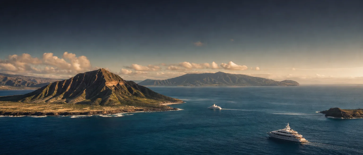
Hawaiʻi is many harbors, not one port.
Each Hawaiian island has its own harbors, its own authorities, and its own constraints — a deep-draft commercial terminal on one island, a demand-driven small-boat harbor on the next. HYANS coordinates the right harbor for the vessel and the call, with one accountable point of contact throughout.
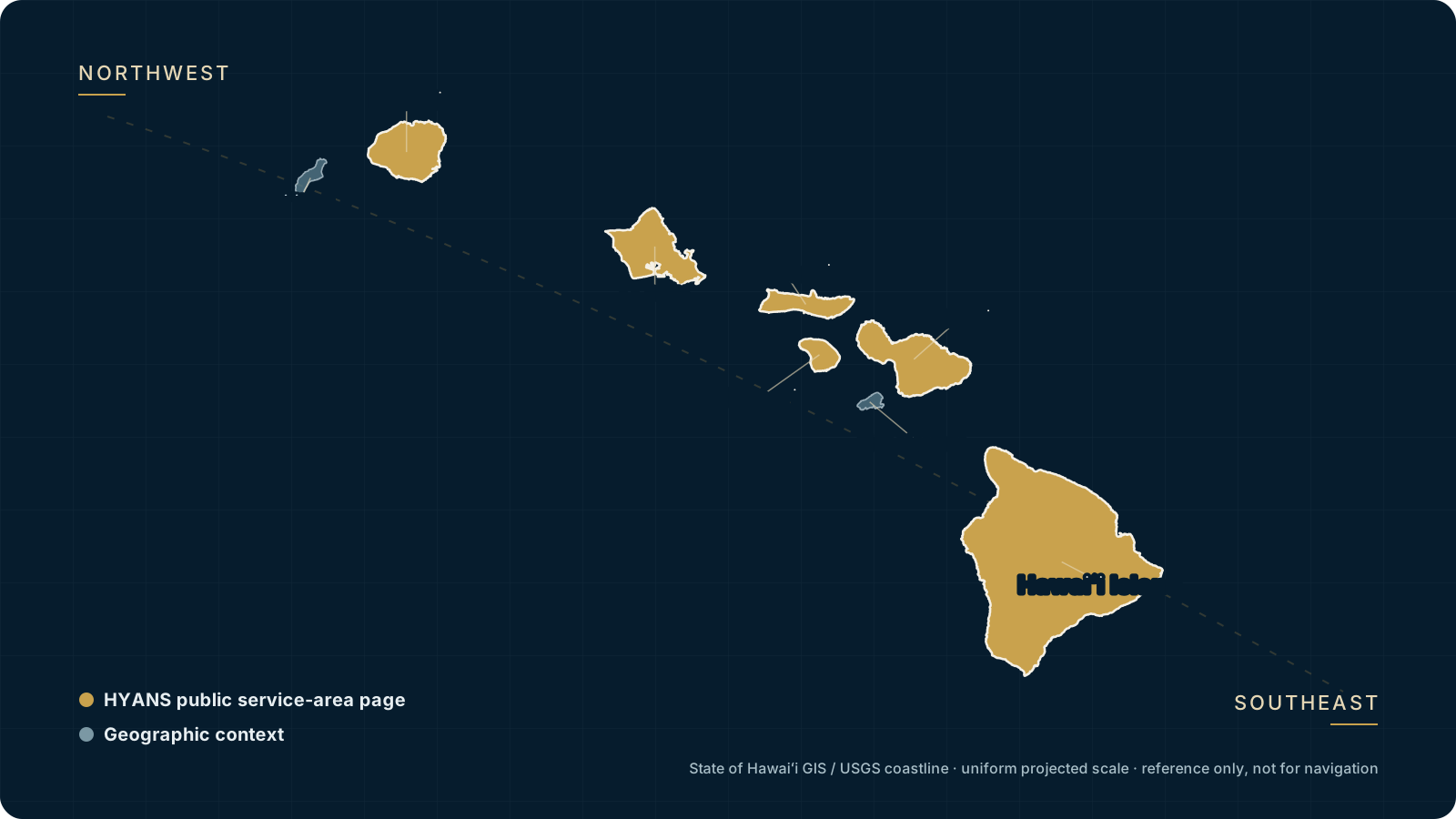
Six public service areas in geographic context
The public planning pages cover fifteen port and harbor contexts across six Hawaiian islands. Facility category, operating status, access, and vessel suitability are confirmed with the responsible authorities.
One agency across six public service areas.
Vessels calling Hawaiʻi rarely have a single obvious destination. The commercial deep-draft harbors, the small-boat harbors that host visiting yachts, and the fuel terminals are spread across separate islands and run by different authorities — chiefly the Hawaiʻi Department of Transportation Harbors Division and the Division of Boating and Ocean Recreation, alongside federal agencies at the border.
HYANS coordinates the call wherever it lands: berth and dockage requests, clearance with CBP, USDA/APHIS and the U.S. Coast Guard, fuel, vendors, crew and documentation. Select a harbor below for how it is typically used, the vessels it suits, and the HYANS support that usually applies. Where a harbor detail depends on the authority or on current conditions, we say so and confirm status before arrival rather than state it as fixed.
Oʻahu harbors
The primary commercial and agency hub of the islands.
Honolulu Harbor
Oʻahu · Primary commercial harbor and HYANS agency hub — deep-draft calls, cargo, clearance and larger yachts. Best for: commercial ships, superyachts, agency-led calls.
Learn more →Ala Wai Small Boat Harbor
Oʻahu · Waikīkī small-boat harbor for visiting private and sailing yachts. Best for: private yachts, race finishers, cruising crews — availability is demand-driven.
Learn more →Kewalo Basin
Oʻahu · Compact working harbor near downtown Honolulu. Best for: smaller commercial vessels, day operators and some visiting vessels.
Learn more →Kalaeloa (Barbers Point)
Oʻahu · West-side commercial and fuel harbor. Best for: fuel, bulk and industrial commercial calls and larger tug-and-barge movements.
Learn more →Maui harbors
Maui's commercial gateway plus small-boat and legacy harbors.
Kahului Harbor
Maui · The island's primary commercial deep-draft harbor. Best for: commercial ships, cargo, cruise and larger vessels calling Maui.
Learn more →Māʻalaea Harbor
Maui · Small-boat harbor on the south-central coast, used by smaller vessels and operators. Best for: smaller yachts and day operators — space is limited.
Learn more →Lāhainā
Maui · West Maui area recovering from the 2023 wildfire. Availability is limited and status changes — confirm current conditions before planning any call.
Learn more →Kauaʻi, Molokaʻi, Lānaʻi and Hawaiʻi Island harbors.
The cards above cover Oʻahu and Maui. The public planning pages also cover Kauaʻi's Nāwiliwili and Port Allen, Molokaʻi's Kaunakakai, Lānaʻi's Kaumalapau and Mānele Small Boat Harbor, and Hawaiʻi Island's Hilo, Kawaihae and Kailua-Kona contexts. See Hawaiʻi Island and Kauaʻi for those calls, or the ports overview for the full harbor picture.
Whatever the island, the approach is the same: HYANS confirms current harbor status with the responsible authority, requests what the call needs, and keeps the vessel informed — never assuming access that only the harbor and border authorities can grant.
Frequently asked
Which Hawaiʻi harbor should my vessel use?
Can HYANS guarantee a berth at a specific harbor?
Which island service areas do these pages cover?
Not sure which harbor fits your call?
Tell HYANS the vessel, the island, and the reason for the call. We will advise on the most suitable harbor, confirm current status, and coordinate the port call end to end.