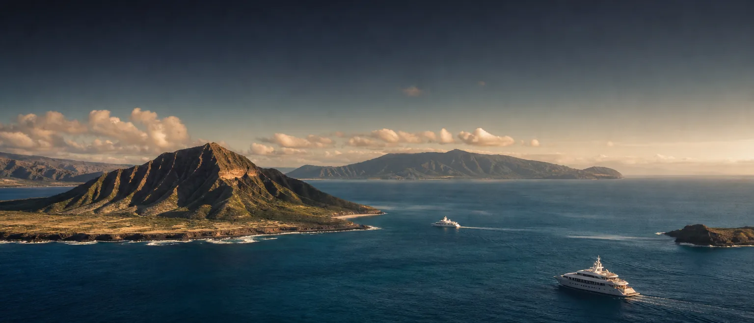
Yacht Agent Across the Hawaiian Islands
From Kauaʻi to Hawaiʻi Island, every harbor keeps its own rhythm — its own authorities, berths, channels and weather windows. HYANS brings island-by-island local knowledge to every port call and interisland leg across the state.
One agency. Every island. Real ground truth.
Hawaiʻi is not a single port — it is a chain of very different ones. Deep-draft commercial harbors sit alongside small-boat basins; a favorable channel crossing one morning can turn contrary by afternoon. HYANS treats each island on its own terms, so your call is planned against the harbor you are actually entering.
- →Harbor-specific context — berths, drafts, anchorages, pilots and local authorities for each port of call.
- →Channel & weather awareness — interisland legs timed around real trade-wind, swell and channel conditions.
- →A single point of contact — the same agent coordinates every island on your itinerary, start to finish.
Where HYANS operates.
Four island pages carry the detail — ports served, typical calls, applicable services and interisland routes. Start with the island you are heading to.
- →Oʻahu — Honolulu Harbor, Ala Wai and Kewalo.
- →Maui — Kahului, Māʻalaea and Lāhainā.
- →Hawaiʻi Island — Hilo, Kona and Kawaihae.
- →Kauaʻi — Nāwiliwili and Port Allen.
Eight main islands. Six public service areas.
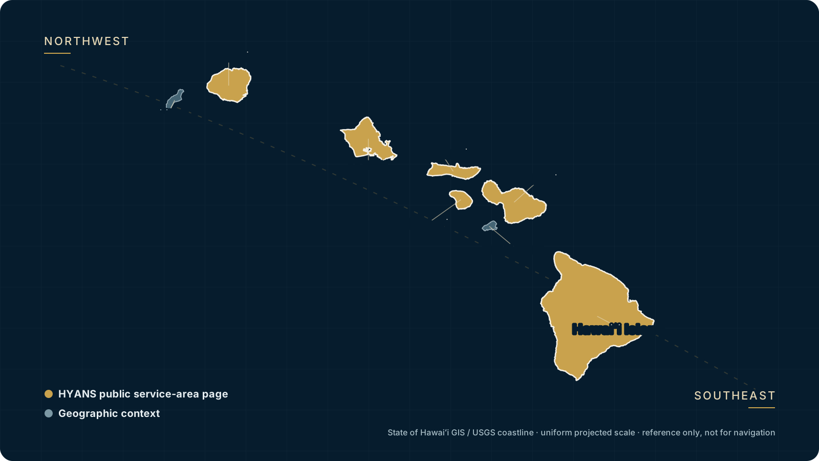
State of Hawaiʻi GIS / USGS coastline · uniform projected scale · geographic reference only, not for navigation.
Geospatial insight. Local knowledge. Seamless navigation.
From Kauaʻi to the Big Island — each has its own harbors, anchorages, authorities and operating rhythm. HYANS brings island-by-island context to every call.
Coordinated by HYANS
| Route | Timing | Support |
|---|---|---|
| Honolulu → Maui | Vessel-specific | Full Agency |
| Honolulu → Hilo | Vessel-specific | Full Agency |
| Maui → Kona | Vessel-specific | Coordinated |
| Kauaʻi → Honolulu | Vessel-specific | On Request |
| Interisland Circuit | Itinerary-specific | Full Agency |
Six service areas, northwest to southeast.
Each page covers the ports HYANS serves, the calls we typically handle there, and how our services and interisland routes apply.
Kauaʻi
At the northwestern end of the public service sequence, Nāwiliwili lies on Kauaʻi's southeast coast and Port Allen on the south coast. Current status and suitability are confirmed for each call.
Kauaʻi →Oʻahu
Honolulu and Kalaeloa are Oʻahu's commercial harbors; Kewalo Basin and Ala Wai serve working and small-craft activity. Harbor and authority requirements remain call-specific.
Oʻahu →Molokaʻi
Kaunakakai Harbor is on Molokaʻi's south coast. Facilities are limited, so vessel suitability, access, and shore-side support are confirmed in advance.
Molokaʻi →Lānaʻi
Kaumalapau Harbor is on the west coast; Mānele Small Boat Harbor is on the south coast. Lānaʻi lies west of Maui across the ʻAuʻau Channel.
Lānaʻi →Maui
Kahului is Maui's commercial harbor and Māʻalaea is a small-boat harbor. Lāhainā remains in recovery with limited authorized commercial ocean operations; confirm current status.
Maui →Hawaiʻi Island
Hilo is on the island's windward east coast; Kawaihae and Kailua-Kona are on the leeward west side. Hilo and Kawaihae are commercial harbors; Kailua-Kona is a small-craft and roadstead context.
Hawaiʻi Island →The water between the islands.
Every interisland leg crosses open water with its own character. HYANS times each crossing around real trade-wind, swell and channel conditions.
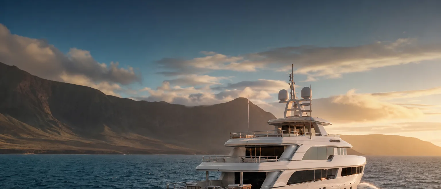
Wherever you're headed in Hawaiʻi, arrive coordinated.
Tell us the island and the call — HYANS will confirm scope and propose how we'll support you, harbor by harbor and leg by leg.