Planning an interisland voyage in Hawaiʻi.
Cruising between the Hawaiian Islands means short but real ocean legs across exposed channels, limited harbor space, and provisioning that has to be staged ahead. This guide covers what to plan for — and how HYANS coordinates the shore side across every island.
Close islands, open channels.
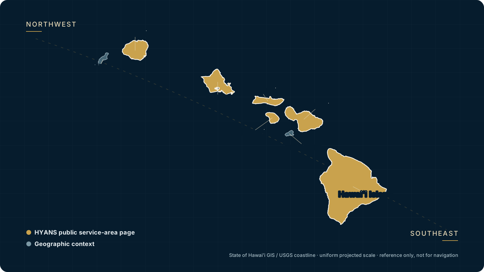
The main Hawaiian Islands sit close together, but the water between them is open ocean. Channels like the ʻAlenuihāhā between Hawaiʻi Island and Maui, the Pailolo between Maui and Molokaʻi, and the Kaʻiwi between Molokaʻi and Oʻahu can be far livelier than the short distances suggest, driven by trade winds accelerating between the islands. Voyage planning is about matching the legs, the vessel, and the weather window.
HYANS supports that planning from the shore side — the ports you call at, receiving arrangements, fuel and provisions, and coordination across islands under one point of contact. Routing and navigation decisions remain with the captain; we provide supporting information and coordinate the logistics. See interisland support for the full service.
The interisland planning list
Route & ports
- Which islands and ports the itinerary will call at
- Berth, mooring, or anchorage options at each stop (subject to availability)
- Order of the legs and realistic time on each island
- Contingency ports if conditions change
Channels & timing
- Which channels each leg crosses and their typical exposure
- Trade-wind and sea-state considerations for the window
- Preferred departure timing for each leg
- Flexibility in the schedule to wait out a bad window
Logistics
- Fuel and lube needs and where to uplift them
- Provisioning and stores, and where to stage them
- Spares or deliveries to receive at a specific island
- Crew changes or guest movements tied to particular ports
Where interisland itineraries stop
Confirm current berth availability, draft limits, and operating status before arrival.
Oʻahu
Honolulu and Ala Wai — the hub for provisioning, crew, and vendors.
Learn more →Maui
Māʻalaea and Lāhainā approaches — central to most interisland circuits.
Learn more →Hawaiʻi Island
Kawaihae and Hilo — bunkering, commercial, and east-side calls.
Learn more →Kauaʻi
Nāwiliwili — the north-western end of most itineraries.
Learn more →Ports overview
The harbors HYANS coordinates across the islands.
Learn more →Routes overview
Interisland circuits and the legs between them.
Learn more →Plan the window, hold the flexibility.
The channels reward patience. A leg that is uncomfortable in a fresh trade-wind window can be straightforward a day either side, so the most useful thing a plan can carry is flexibility — a schedule that can wait out a bad window rather than force a crossing. HYANS provides supporting forecast and channel context so captains can pick their moment; the decision to sail remains with the captain and operator.
We coordinate the shore side around whatever window the vessel chooses — holding or shifting berthing requests, fuel, provisions, and crew logistics so a one-day delay does not unravel the rest of the itinerary. See weather & routes for how that information is provided.
- →Supporting forecast and channel context for each leg
- →Flexibility built into berthing, fuel, and provisioning arrangements
- →One point of contact holding the itinerary together across islands
- →Receiving staged ahead so deliveries meet the vessel, not the other way around
Frequently asked
Can HYANS coordinate a full multi-island itinerary?
Do you plan the route and make weather calls?
How do the channels affect planning?
Can you stage fuel and provisions on different islands?
Mapping an interisland voyage?
Share the islands, the legs, and your dates. HYANS will coordinate ports, fuel, provisions, and receiving across the itinerary so the shore side holds together.