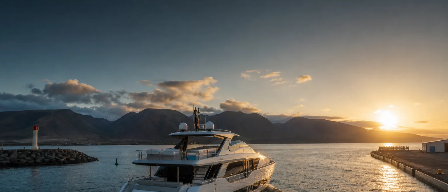
The Kauaʻi Channel, in planning context.
The Kauaʻi Channel separates Oʻahu from Kauaʻi and is the widest of the main interisland crossings. Its length and openness to North Pacific swell make a realistic window and a staged shore side especially worthwhile.
Where the Kauaʻi Channel sits
The Kauaʻi Channel lies between the northwest of Oʻahu and the southeast of Kauaʻi, connecting the Oʻahu harbors with Nāwiliwili and the Kauaʻi coast. It is the widest of the primary interisland channels, an open stretch of water with a longer crossing than the channels within Maui Nui.
For operators, a Kauaʻi call usually means the longest single interisland leg on a Hawaiʻi itinerary, so planning the departure-end fuel, provisioning, and crew carefully pays off. The arrival end most often centers on Nāwiliwili Harbor.
This page gives planning context, not a passage plan. Your captain plans and commands the crossing using current official forecasts, notices, and charts.
What tends to shape a call across this channel
- →It is the widest interisland crossing, so plan the departure end and provisioning for a longer leg
- →Nāwiliwili is the usual Kauaʻi arrival point — coordinate that berth and any vendor needs in advance
- →Open exposure to North Pacific swell can shape the window, especially seasonally
- →Stage fuel, provisioning, and crew before departure rather than mid-crossing
- →Confirm current harbor operating status and authority requirements at both ends before departure and arrival
General conditions to factor into planning
As a wide, open channel, the Kauaʻi crossing is exposed both to the prevailing trade-wind sea and, seasonally, to North Pacific swell arriving from the north and northwest. Operators generally watch both wind and swell, and keep the timing flexible around them. The longer fetch means conditions can differ noticeably from the shorter Maui Nui channels.
This is general awareness rather than a forecast. The crossing is planned and timed against current official marine forecasts and the captain's judgment; the context here is only to help you plan the shore side and brief HYANS realistically.
How we coordinate the shore side at each end
Before departure, HYANS coordinates the Oʻahu-end shore side — berth and dockage where available, fuel and provisioning staged for a longer leg, and crew or guest logistics timed to the plan. On the Kauaʻi end, we coordinate the arrival call, commonly at Nāwiliwili Harbor, along with the vendor and provisioning items a Kauaʻi call involves. See Port Coordination and Fuel & Bunkering.
One agency keeps both ends aligned through Interisland Support, so the Oʻahu departure and the Kauaʻi arrival are handled as a single plan across the longest interisland leg. The decision to sail and the navigation of the channel stay with the captain.
Frequently asked
Is the Kauaʻi Channel a long crossing?
Can you coordinate the arrival at Nāwiliwili?
Do you decide when it is safe to make the crossing?
Channel pages provide planning context only — not navigation instruction. The captain retains full responsibility for navigation, passage planning, and safety of the vessel. HYANS provides shore-side coordination and planning support, not navigational command. Conditions in Hawaiʻi's channels change quickly; consult current official forecasts, notices, and charts, and confirm port status and authority requirements before departure and arrival.
Crossing the Kauaʻi Channel?
Send HYANS your Oʻahu and Kauaʻi plans and your window. We will stage the departure-end fuel and provisioning and coordinate the Nāwiliwili arrival so the longest leg runs smoothly.